Ba selected for Pacific flood forecasting pilot
New system aims to improve warnings and help communities act before floods
Tuesday 18 August 2026 | 14:00

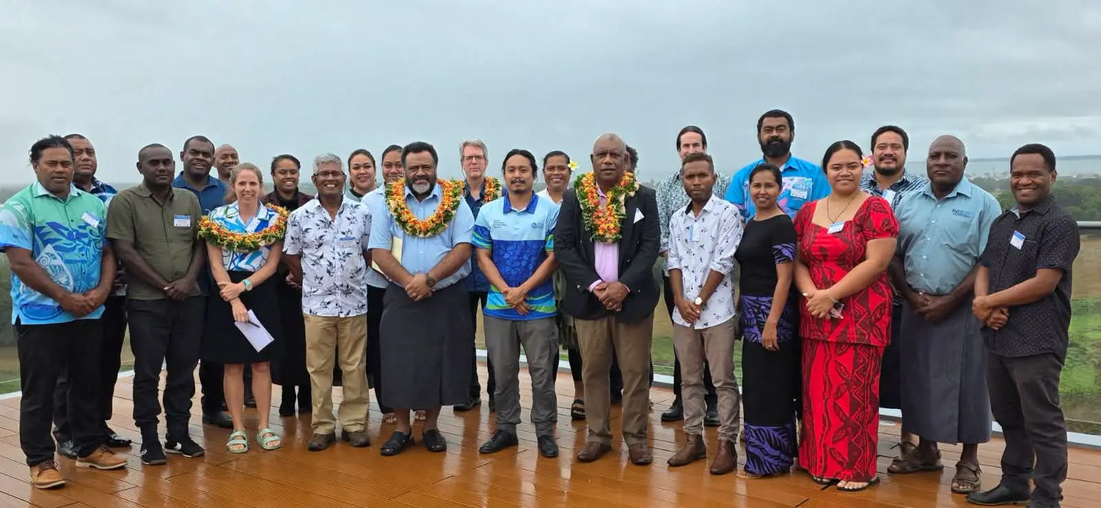
Participants at the five-day Early Warning System for Floods (EWS-F) Implementation Training at Nalagi Hotel in Nadi.
Photo: Supplied
Fiji’s Ba Catchment has been selected as one of two Pacific pilot areas for operational impact-based flood forecasting as regional experts work to strengthen flood early warning systems.
The five-day Early Warning System for Floods (EWS-F) Implementation Training began yesterday at the Nalagi Hotel in Nadi, bringing together technical experts and representatives from national meteorological and hydrological services across the Pacific.
The training is being held under the Pacific Early Warning System for Floods Project and supports the global Early Warnings for All initiative.
Related stories
Fiji Meteorological Service director Misaeli Funaki said effective flood early warning required more than rainfall and river observations.
“We need reliable data, good forecasting systems, strong technical capacity, and most importantly, clear and timely information that enables people and decision-makers to take action,” he said.
The Ba Catchment is one of two pilot areas selected for operational impact-based flood forecasting, alongside Tongatapu in Tonga.
The pilot will combine hydrological observations, data management, numerical modelling and forecasting tools to improve flood forecasting and warning services.
It will also help demonstrate approaches that could eventually be expanded across the region.
Mr Funaki said better forecasts were only useful if the information reached the right people at the right time and could be understood.
“A forecast is only valuable when it reaches the right people at the right time and is understood well enough to support appropriate decisions,” he said.
During the training, participants will gain practical experience in interpreting EWS-F forecasts and system outputs.
They will also strengthen their understanding of meteorology, hydrology, hydrological and hydraulic modelling, and how these areas work together to support operational flood forecasting and early warning.
The project covers Fiji, Kiribati, Samoa, Solomon Islands, Tonga and Vanuatu, with training and capacity building across all six countries.
The training is coordinated by the World Meteorological Organization, with financial support from the United States Department of State. It is being implemented by the Pacific Community (SPC), with technical support from Earth Sciences New Zealand and national partners.
For Fiji and other Pacific countries, the training aims to improve the science, systems and communication needed to turn flood warnings into timely action.